Environment
Bare winter ground in La Crosse should be snow-covered again soon, with storm coming
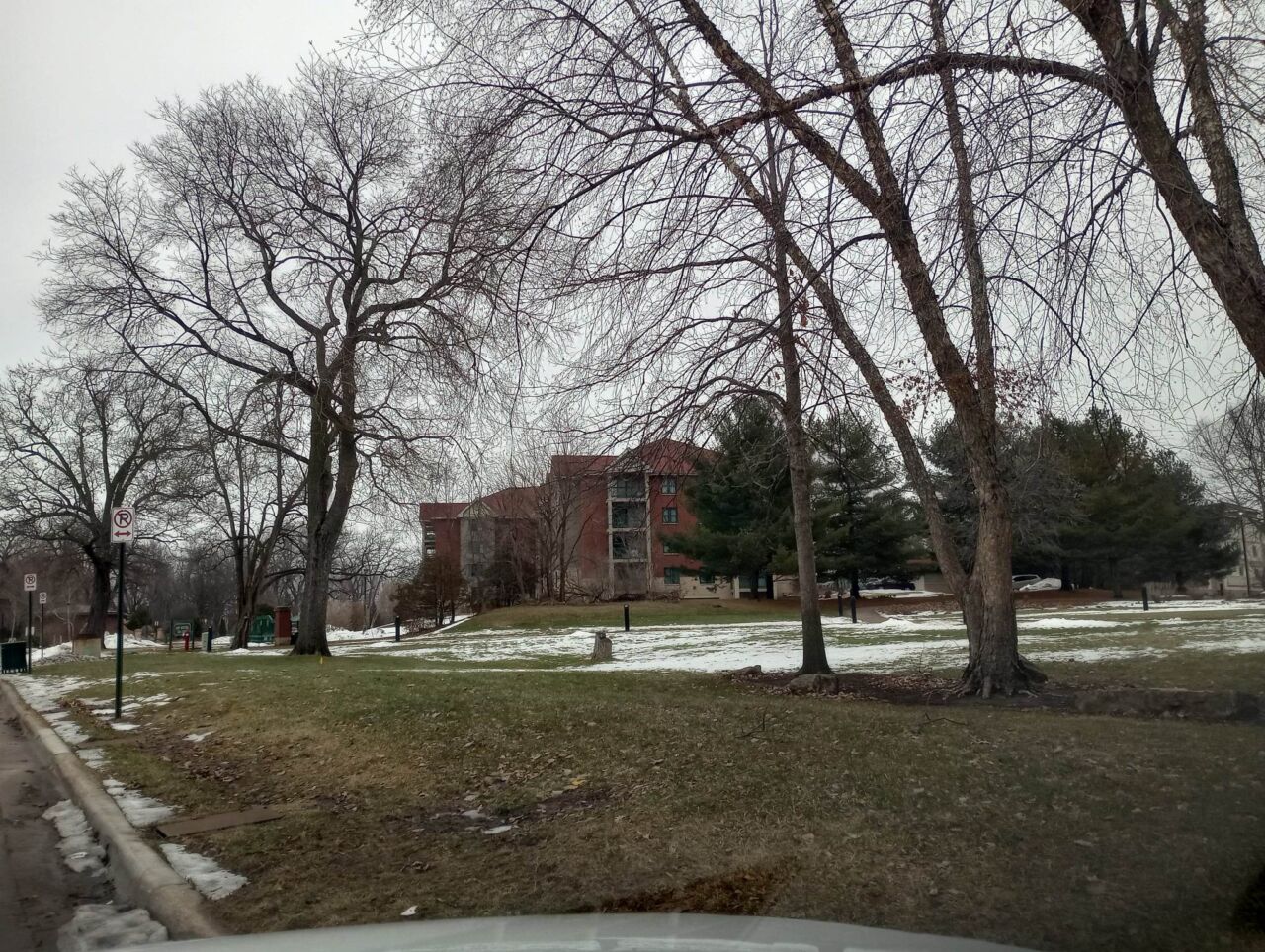
In the middle of December, La Crosse received 11 inches of snow in a 9-day period. Most of that snow is gone now, but a new supply of snow is on the way, starting Wednesday night.
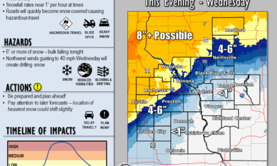
The latest prediction from the National Weather Service suggests that La Crosse could get at least 6 inches of snow overnight, with as much as 9 inches possible. That would bring an end to our current spell of warmer weather, where La Crosse has had temps of 32 or higher for much of the last week.
The service is now predicting 6 to 9 inches of snow in a small area between La Crosse and Winona, with 5 to 8 inches possible between Eau Claire and Decorah. Snow amounts will be slightly lower south of Viroqua.
The heaviest snowfall is likely to start around 9 o’clock Wednesday night, and end at about 6 a.m. Thursday.