
Weather
UPDATE: La Crosse could see 4-6 inches of snow Tuesday
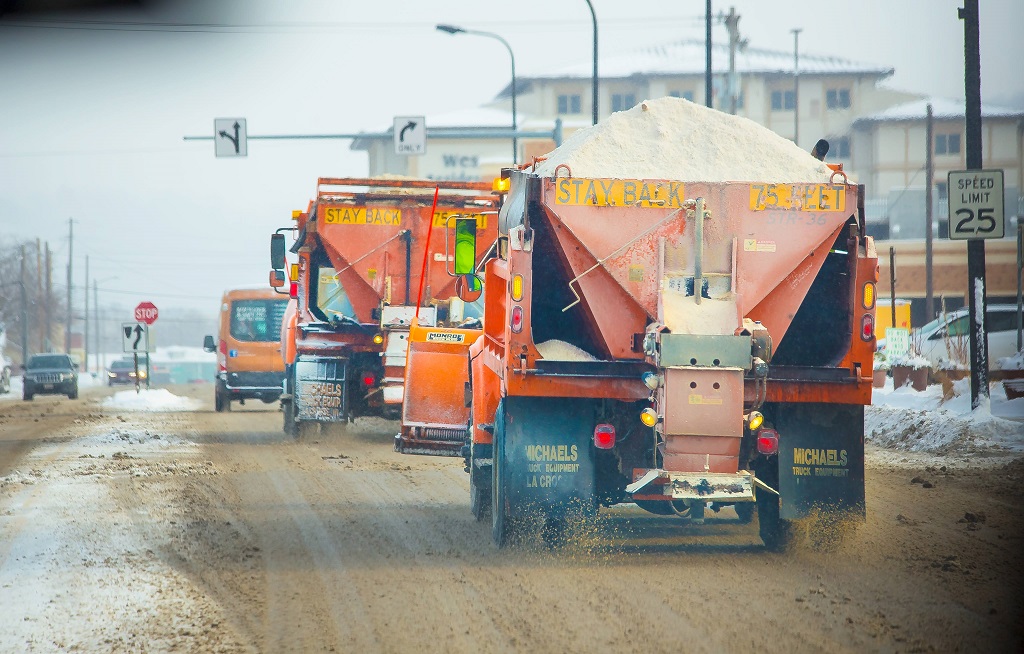
Get prepared for more snow La Crosse.
The National Weather Service in La Crosse is now predicting perhaps 4 to 6 inches in the La Crosse area, with around 6 to 8 inches to the northeast and also far southern Wisconsin.
Cathy Zapotocny says the winter storm warnings will begin at noon and snow will start up about 2 p.m. She said we could see up to an inch per hour rates in the area.
The Tuesday afternoon commute will be hazardous for many as snow spreads in during the afternoon and evening. Conditions will rapidly deteriorate once the snow starts. If you have travel plans, consider altering or cancelling. If you must travel, check road conditions first.

The news comes after La Crosse had just about an inch of snow on the ground on Christmas day, somewhat qualifying as an official “white Christmas,” ending a three-year string of bare lawns on the holiday.
Sunday’s snowfall in La Crosse was 1.6 inches.
The last big storm in La Crosse came in February with seven inches, which stayed around about a month.